


Meteorologists rely on a constant stream of data from space to track the evolution of weather systems, from massive hurricanes to localized thunderstorms. One of the most vital tools in this endeavor is the GOES (Geostationary Operational Environmental Satellite) program. Unlike polar-orbiting satellites that pass over the poles on successive orbits, GOES satellites orbit in Earth’s equatorial plane and match the Earth's rotation. This allows them to appear fixed in the sky, providing a repeated view of the same region, which is essential for monitoring rapid weather changes.
The GOES Program and Scanning Modes
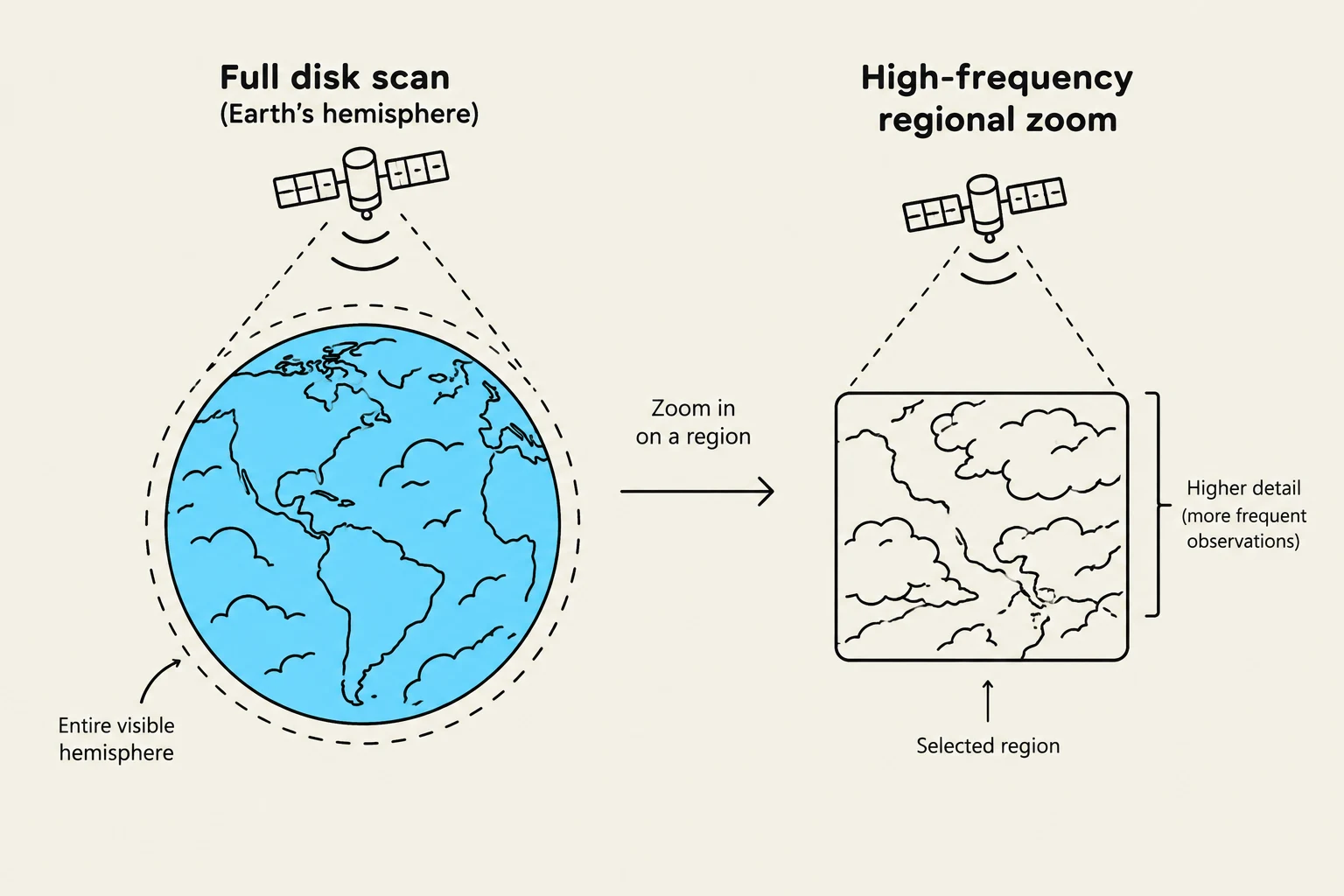
The GOES program provides different "views" depending on the needs of the forecaster. A full disk scan provides a complete, circular image of the entire visible hemisphere centered on the satellite. However, for tracking fast-moving storms, meteorologists often use regional views or small domain updates that can refresh every 30–60 seconds. Additionally, specialized instruments like the GLM (Geostationary Lightning Mapper) allow scientists to detect lightning activity in real-time, providing a crucial indicator of severe weather.
Visible Imagery: Seeing the Texture
Visible imagery is perhaps the most intuitive type of satellite image because it functions much like a standard photograph. It measures reflected sunlight from the Earth's surface and clouds.
Because it relies on sunlight, visible imagery is only available during daylight hours. It is exceptionally useful for observing cloud texture and structure. For example, a meteorologist can use visible imagery to distinguish between the smooth, uniform appearance of a stratus layer and the more rounded, textured elements of stratocumulus.
Keep reading for free.
Create an account to finish this reading and make it part of your study routine.
Continue reading freeAlready have an account? Log in
Updated